Friday, July 29, 2016

La Paz - Valle de la Luna, Muelle del Diablo and Riding the Death Road

The Muelle del diablo

Just outside La Paz are several natural formations that are easily reachable by minibus.

The closest is the Valley of the Moon formations which has been turned into a tourist attraction with easy walkways through the formations.

Valley de la Luna

The main walk through the formations takes around 45 minutes and gives various perspectives on the formations.

Looking down the valley

The Valley de la Luna park

Another view of the park

A little further afield is the Muelle de Diabolo formation - a very steep walk.

Yep, that's the path up

But offering panoramic views of La Paz and surrounds.

La Paz from the Muelle del Diablo

Looking towards the mountains with the shadow of the Muelle del Diablo

As with many places in La Paz, although the trek up the Muelle de Diabolo is steep, it's relatively easy - unlike the very scary road to get there.

Looking back at the precarious road

In fact, La Paz has one scary road in particular that is very famous - The Death Road, so named because of the number of fatalities that have occurred - usually by cars going over the cliff on this very narrow road.

So, why not cycle down it?

What could possibly go wrong?

There are many bike companies that offer the ride down the road, of varying price and quality. Keeping in mind that there are usually two cyclist deaths per year on the road it's probably better to opt for quality over price. I went with Barracuda biking after it was recommended to me by a friend in Puerto Williams (of all places). The cost was 500Bs (around $AUD100) and I was very happy with the quality of the bikes and the general approach to safety. During the ride I saw a couple of spectacular crashes in other company's groups - caused by bad quality bikes and poor supervision inexperienced riders - so I was happy with Barracuda (we only had one minor spill in our group).

The first section of the ride is on sealed road to allow you to get used to the bike.

The paved section

Before starting on the unsealed death road.

The start of the Death Road

High in the mountains

The road through the mountains

The death road itself is very steep with very sharp corners.

Looking down the road


And is very narrow in parts.

The road narrows


Narrow and wet

The narrowest part of the road - constantly wet from a waterfall

But the scenery was fantastic

The mountains

Mist rising

The valley from the lower part of the road.

After 3 hours of riding, at the bottom of the road, we stopped In a little town In a river valley for some very well deserved beers and a swim

The river in the valley

before we took the minibus back to La Paz - thankfully using the new, wider, safer road.

La Paz - Hills, Altitude and Partying through to the Inca New Year

La Paz

The capital of Bolivia, La Paz, is perched high in the mountains at a hight of 4000m. Many visitors have trouble with the altitude when they first arrive but I was lucky enough to have already been at altitude so I didn't have trouble with sickness, however, navigating the steep streets of La Paz was still a physical challenge.

Streets of the old city

The main centre of the city is built up around Plaza Mayor and the San Francisco church.

San Francisco church

And Plaza Murillo, where all of the government buildings can be found.

Plaza Murillo

Presidential palace

Congress building

As La Paz is very steep, it is surrounded by many lookouts where you can get a great view of the city.

La Paz from Mirador Killi Killi

There are also several commuter telefericos which also give a good view of the city, especially at night (although my camera couldn't do it justice).

La Paz at night from the teleferico

I was also lucky enough to be in La Paz close to the traditional New Year (solstice), so the city had a real party atmosphere.

Live band in a La Paz bar

And on New Years eve I went out to Tiwanacu to celebrate the sunrise through the Puerta del Sol at the Inca ruins in the town.

After enduring a freezing -4°C night

The fire didn't help - however the té con té (Tea and Rum) did.

We dragged ourselves to the ruins to see the sunrise.

Sunrise through the Puerta del Sol

It was a big celebration

Sun falling on the ruins

Seeing the sunrise is supposed to bring good luck for the new year which was timely since I was planning to ride the North Yungas Road (commonly called The Death Road) in a few days.....

Monday, July 18, 2016

Through the Bolivian Desert to Uyuni

The Bolivian border

From San Pedro to Atacama is a three day drive through the remote Bolivian desert, climbing to Altitudes of over 4000m. 

There are many tour companies that offer the drive in San Pedro but they are of extremely variable quality (I heard some serious horror stories about this route). I chose Cordiella Travel and was very happy with the service.

Fellow travellers

The drive starts at the Bolivian border and after the border formalities, we headed off to our first destination - one of many borax filled lagoons.

The first lagoon


The lagoon with the snow capped Andes in the distance

The white colour of the water is caused by a combination of borax and salt, the lake often reflects other colours too but unfortunately it was too windy which stirred up the water.

The "road" (basically 4wd tracks) then continues through the desert.
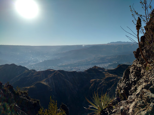
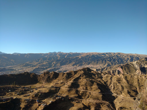
The desert

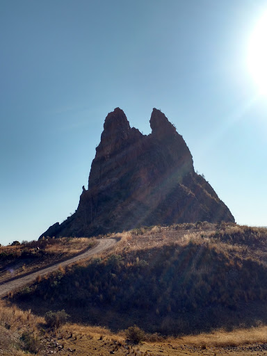
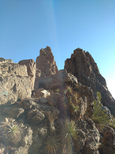
Rock formations caused by wind erosion

Until we reached the geysers.

Don't breathe the gases

Unlike the geysers in San Pedro, these geysers were volcanic - spewing out toxic Hydrogen Sulphide (hence the sign saying not to breathe the gasses).

Gasses emanating from the volcanic vents

The geysers consisted of many pools of boiling mud and water, and at well over 100°C probably not the best place to fall in. 

Mud pools


The many pools of boiling mud

After the geysers we continued through the desert until we reached our accommodation for the night - a simple, yet comfortable, hostel on the shores of the Red Lagoon.

The hostal

The red lagoon

The red lagoon is coloured by minerals in the water. It can actually be many colours but the wind had stirred up the water, so it was only a red-brown colour.

Another view of the Red Lagoon

Sun shining over the lagoon

The lagoon attracts many animals to its shores, such as alpacas from the local farms

Alpacas

A baby alpaca

And pink flamingos

Flamingos

After a freezing night of -9°C we were greeted by a beautiful sunrise and a clear day without wind.

Sunrise

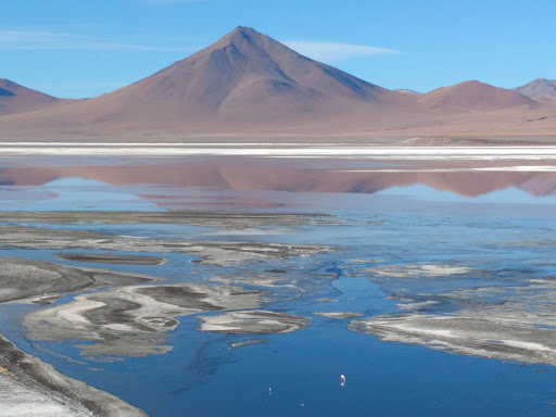
So the lagoon could show off its colours.

The many colours of the lagoon

Another view of the lagoon

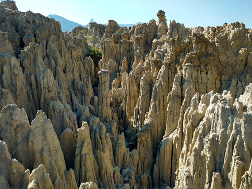
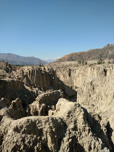
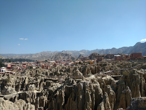
The drive then continued into the desert, past many rock formations created from wind erosion.

"The stone tree"

More formations

A panorama of the formations

Before heading back into the desert.

The desert "road"

Where we met some more of the local wildlife.

A Viscacha


More Viscachas


Andean Fox

Before we headed to the ashfields of one of the active volcanoes in the area.

The Ashfields

Smoke rising from the volcano

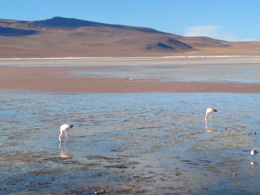
The next stage of the trip was to travel past the various lagoons as we descended towards the salt flats. The lagoons were populated by a large number of pink flamingos.

Flamingos


More flamingos!


Even more flamingos!


panorama of one of the lagoons

Once we had passed the lagoons we began the descent to the salt flats. The first salt flat was a small salt pan over which ran the railway that goes most of the way to La Paz.

Railway through the salt flat

This salt pan was just a taster of the giant Salas de Uyuni which we planned to see the next day - for sunrise.

Sunrise over the salt flats

It is difficult to explain the sheer scale of the Salas de Uyuni or capture it in photos but it is truly spectacular.

Looking into the distance

Mountains far far away

And of course, you can mess around with perspective.

Wine, hooray!

Throughout the salt flats there are several islands thick with cacti.

An island in the salt flats

From which you get a different perspective on the flats.

The salt flats from the island

A panorama of the salt flats from the island

As we left the salt flats we passed the start point for a stage of the Dakar rally 

Dakar stage start point

Close to this are the salt flat springs. The water in these springs is pushed up from below through the weight of the salt.

The springs

From this point we exited the salt flats and headed towards the small town of Uyuni.

In years past Uyuni was an important rail hub for freight from nearby mines. This can be seen in its vast train graveyard where the once busy trains were left to rust.
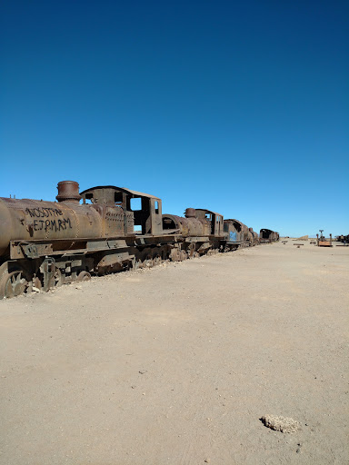
The train graveyard

After three days we had finally reached Uyuni - and there was only one thing left to do:

A refreshing end to the trip